This article explains how to find places to eat, gas stations, shops, or historical places using Google Maps on an iPhone or iPad.
Steps

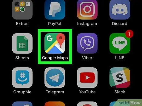
Step 1. Open Google Maps on your device
The icon looks like a map with a red pin. It is usually found on the Home screen.

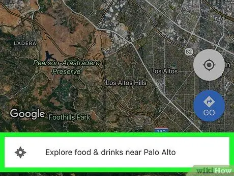
Step 2. Tap Explore in the bottom left corner of the map
The icon looks like two overlapping pins. A menu will appear at the bottom of the screen.
This feature may not be available in some areas

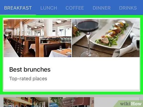
Step 3. Select a category
The red pins that appear on the map indicate the places that coincide with the chosen category.
You may need to scroll through the menu at the bottom of the screen to find the category icons ("Restaurants", "Pharmacies", "Gas Stations", etc.)

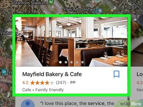
Step 4. Tap a place to find out more
Every single place has different information.
- For example, tapping a petrol station may show you the current timetables and price list, while in the case of restaurants you can read reviews and menus.
- To find out how to get to a place, tap "Directions" in the bottom right corner of the screen.


